Home / 2020 / September 2020 / Derbyshire area Bike Ride 70
I have done this cycle ride a number of times, so today was a repeat, but I took rather more photographs than normal. I took my bike in the car to Ashbourne, to Mappleton Lane where the car park, shop and cycle hire are located. Then I cycled the length of the Tissington Trail to Parsley Hay and on to Dowlow. I then returned to Parsley Hay to have some lunch from the cafe there. Continuing along the High Peak Trail (the former Cromford & High Peak Railway, C&HPR), which descends the Hopton, Middleton and Sheep Pasture inclines, I went as far as the end of the trackbed at High Peak Junction alongside the Cromford Canal. Returning and walking back up the Sheep Pasture incline I had an early afternoon snack at the cafe at Black Rocks, before continuing on up the Cromford incline (walking again) and Hopton incline (I cycled up this). The last but long leg is back via the junction at Parsley Hay and down to Ashbourne.
That's a distance of 103 km (64 miles) with a total climb of 519 m (1703 ft). Total time was 7 hr 24 min. A look at a gradient profile shows the long gentle (only 1 in 60) climb from Ashbourne to Parsley Hay, and the three inclined planes on the High Peak Trail (two at 1 in 8 and one at 1 in 14). After that I drove to Wetton Mill and cycled out and back over the length of the Manifold Way, also a former railway line, though that was only 27 km (16.5 miles) with rather easier gradients.
The C&HPR was completed in 1831, to carry minerals and goods between the Cromford Canal wharf at High Peak Junction and the Peak Forest Canal at Whaley Bridge. It dealt with the hilly rural terrain by using a number of inclines. It was closed by 1967, and the majority of the route, between Dowlow and Cromford, has become the High Peak Trail, a route on the National Cycle Network.

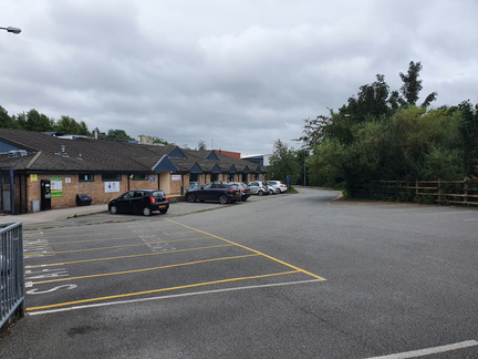 Ashbourne station
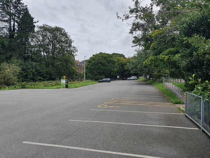 Ashbourne station
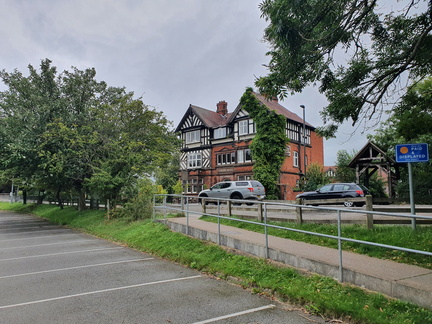 Ashbourne station
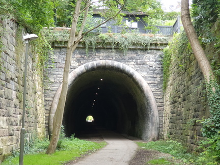 Ashbourne (Church St) tunnel
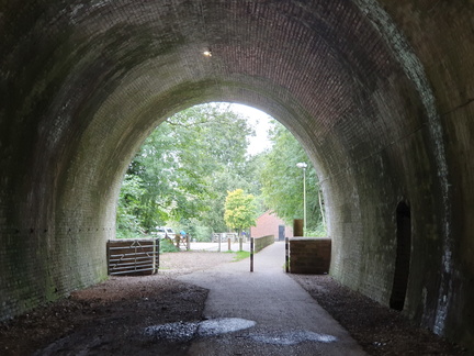 Ashbourne (Church St) tunnel
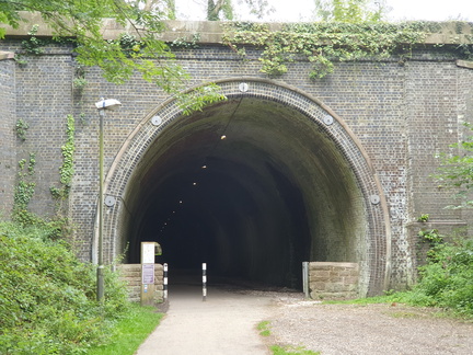 Ashbourne (Church St) tunnel
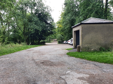 Thorpe Cloud station
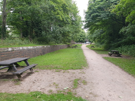 Tissington station
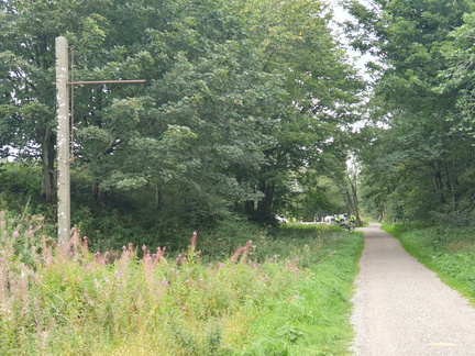 Alsop en le Dale station
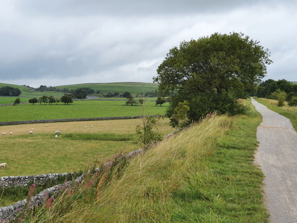 Alsop en le Dale
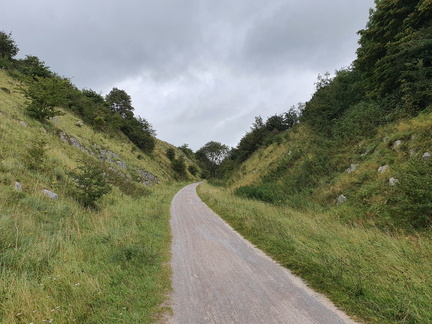 Cold Eaton cutting
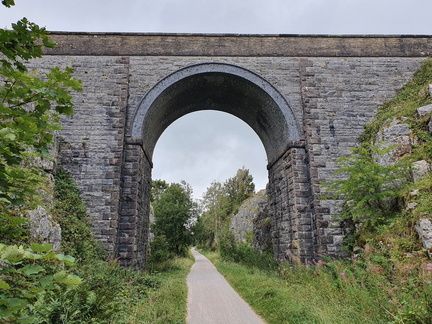 Cold Eaton cutting
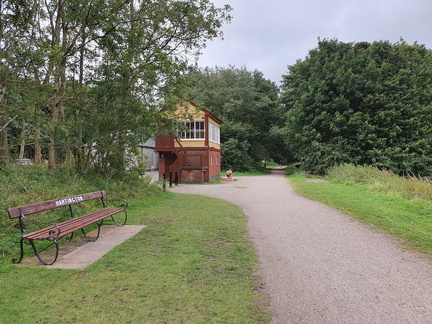 Hartington station
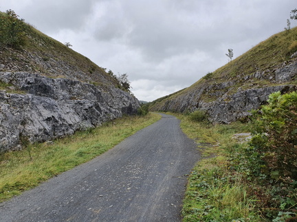 Hartington
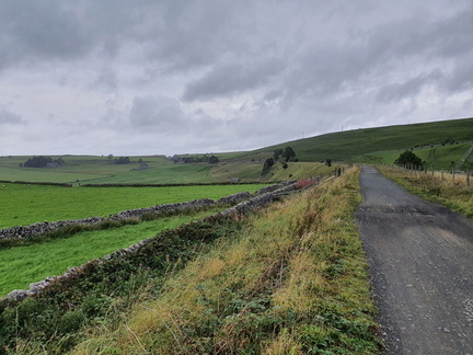 Hartington
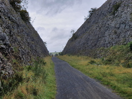 Parsley Hay cutting
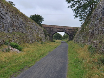 Parsley Hay cutting
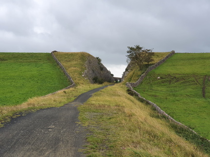 Parsley Hay cutting
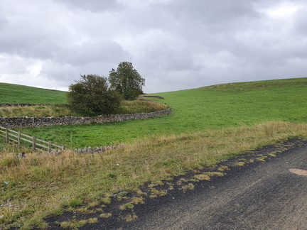 Parsley Hay
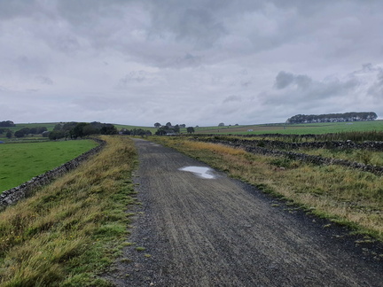 Parsley Hay
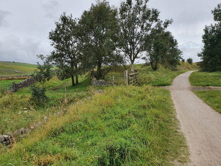 Cotesfield
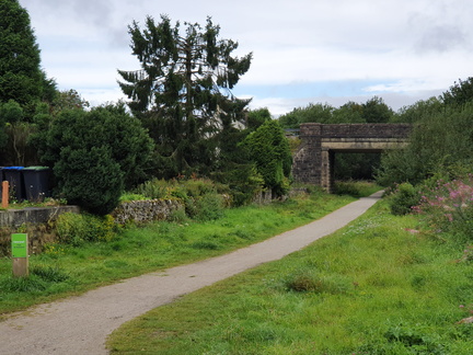 Hurdlow station
 Hurdlow station
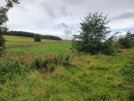 Hurdlow
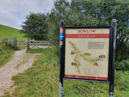 Dowlow
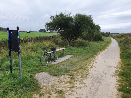 Dowlow
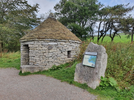 Parsley Hay
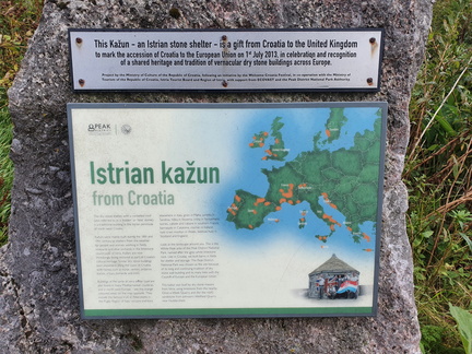 Parsley Hay
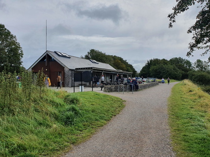 Parsley Hay
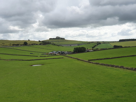 Minninglow
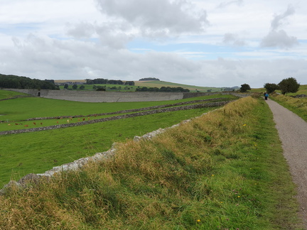 Minninglow
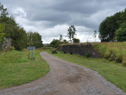 Longcliffe
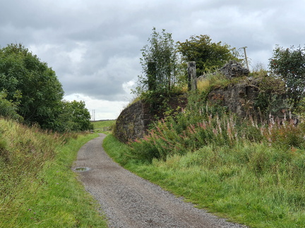 Longcliffe
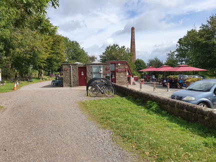 Middleton Top
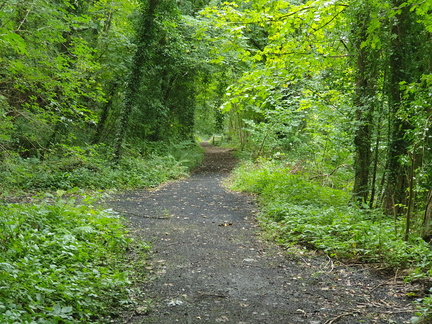 High Peak Jn
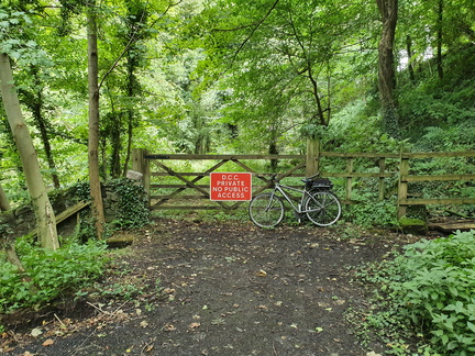 High Peak Jn
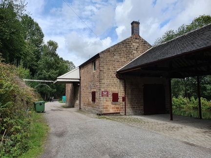 High Peak Jn
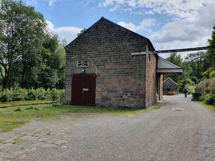 High Peak Jn
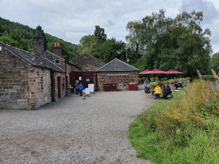 High Peak Jn
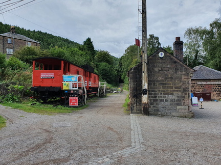 High Peak Jn
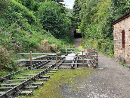 High Peak Jn
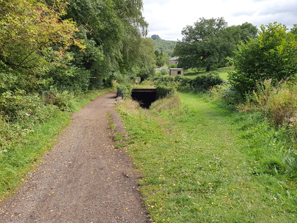 Sheep Pasture incline
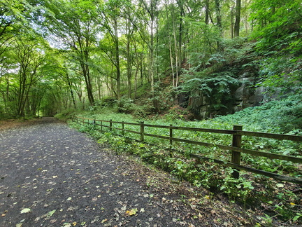 Sheep Pasture incline
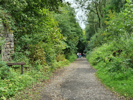 Sheep Pasture incline
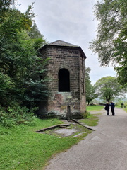 Sheep Pasture incline
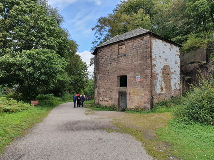 Sheep Pasture incline
 Sheep Pasture incline
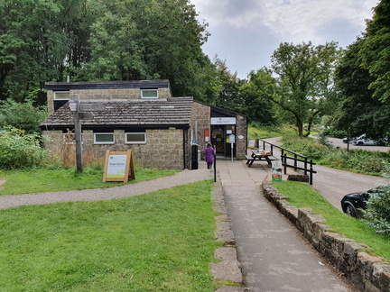 Black Rocks cafe
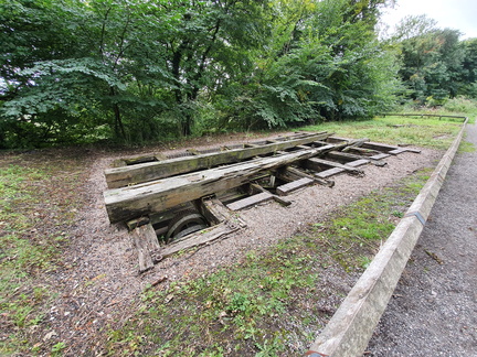 Middleton incline
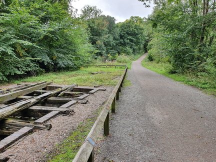 Middleton incline
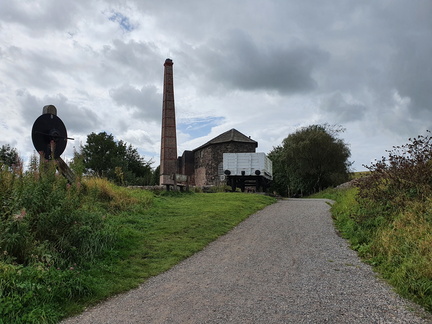 Middleton incline
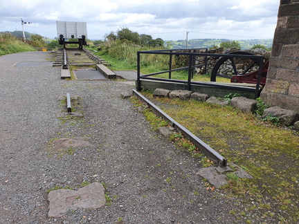 Middleton incline
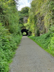 Hopton tunnel
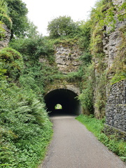 Hopton tunnel
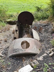 Hopton Wood winding engine boiler
 Hopton incline
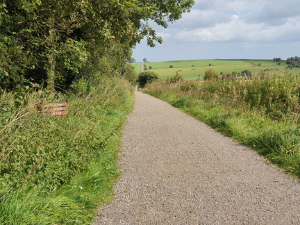 Hopton incline
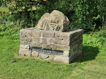 Hopton incline
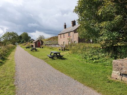 Hopton incline
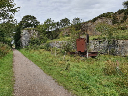 Quarry
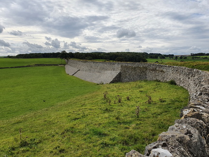 Minninglow
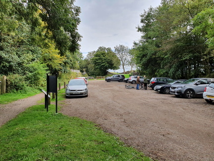 Minninglow
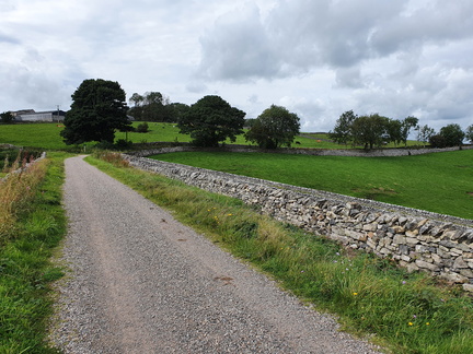 Gotham curve
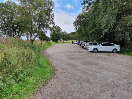 Friden
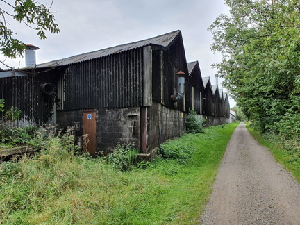 Friden
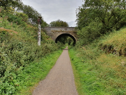 Newhaven
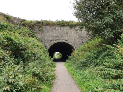 Newhaven tunnel
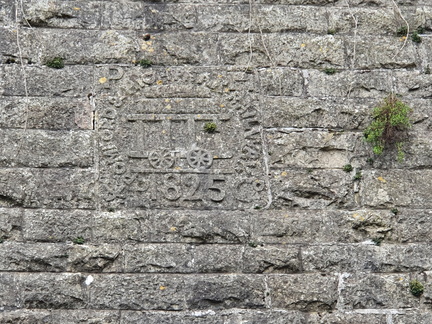 Newhaven tunnel
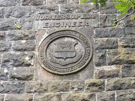 Newhaven tunnel
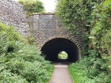 Newhaven tunnel