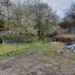
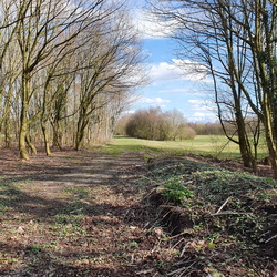
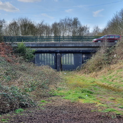
Chat Moss was a large area of peat bog just over 5 miles west of Manchester, and became famous for the way in which George Stephenson laid the tracks of the Liverpool and Manchester Railway (L&MR) over it in the late 1820s. At that time most of the 10 square miles of bog was uncultivated due to the poor drainage and soil quality, though the peat could be dried and used as fuel. Various companies took on the task of reclaiming the land for agriculture, and one way that was found to allow this was to dump on it the large quantities of "night soil" (human excrement) from the rapidly growing cities of Manchester and Salford. The night soil was brought in by train on the L&MR or by boat on the River Irwell, then carried by horse-drawn wagons over lightweight narrow-gauge tramways that were easily laid on the Moss. Most Ordnance Survey maps of the area through the Nineteenth and Twentieth Centuries show a network of tramways on Chat Moss, and the routes of these can be followed on the roads that cross the Moss to this day. The nature of Chat Moss and the tramway operation means that there are no visible signs of the tramways today, but there are a few traces that can be found with the aid of the old maps.
Additional information can be found in John Corbridge's book "A Pictorial History of the Mersey and Irwell Navigation".
There is also some information on the Chat Moss page on Wikipedia; that mentions one tramway but there were at least three, which I have named here "Flow Moss Tramway", "Boysnope Tramway 1" and "Boysnope Tramway 2".
Flow Moss Tramway ran from a wharf on the River Irwell in Lower Irlam across the western side of Chat Moss and to Flow Moss station on the L&MR; this is only marked on the 1848 maps.
Boysnope Tramway 1 ran from Boysnope Wharf on the River Irwell in Higher Irlam to the eastern side of Chat Moss; this is also only marked on the 1848 maps though the course is still visible on later maps.
Boysnope Tramway 2 was built later, in the early 1890s, also ran from Boysnope Wharf (by this time a stub off the Manchester Ship Canal) via a different route onto the eastern side of Chat Moss; this lasted until the 1930s and is known to have had several steam locomotives.


