Home / 2021 / March 2021 / Chat Moss Tramways / Flow Moss Tramway 6
Very pleased to have solved a mystery old railway line this afternoon. One of my regular exercise cycle routes takes me along Liverpool Road in Irlam, and I have always been puzzled by a road named "Tramway Road" which heads off just north of Irlam railway station. The Salford trams (horse or electric) never came out this far, so this didn't make sense, what tramway was this road named after?
I'd been talking to a friend about the former course of the River Mersey and River Irwell in this area, mainly related to how they were altered when the Manchester Ship Canal was built in 1893. He sent me a copy of a map from the book "A Pictorial History of the Mersey and Irwell Navigation" by John Corbridge (ISBN 0 85972 038 1); I have since bought a copy of this book. The Mersey and Irwell Navigation was the predecessor to the Bridgewater Canal then later the Ship Canal. The map shows a wharf by the old River Mersey, and a "tramway to Flow Moss" which passed under the CLC Manchester - Liverpool Line. Bingo!
Sure enough on checking historical maps this all makes sense. Flow Moss is actually a former station on the Liverpool & Manchester Chat Moss line, opened 15/09/1830 and closed in 1842. This and the tramway (Wikipedia calls it Borron's tramway) are well referenced on the Wikipedia page for Flow Moss, and other older maps show a nearby works. In fact the whole of Chat Moss was covered in a complex network of tramways bringing in "night soil" from Manchester and Salford, as was Carrington Moss on "my" side of the Mersey. Note there was a separate tramway onto the eastern side of Chat Moss from Boysnope's Wharf on the River Irwell, slightly further upstream.
Of course in this instance the "tramway" would have been narrow gauge and horse-drawn, not the modern electric variety. I do not know any operating dates.
Links to relevant maps:
1848 Ordnance Survey Map - note no railways here yet! The tramway to Flow Moss can be seen coming in from top left (Astley Road), crossing the main road (Liverpool Road) then heading nearly southwards (Tramway Road) then to the river bank.
Open Street Map of this area of Irlam - the railway, and Astley Road, Liverpool Road and Tramway Road can be seen. Compared to the 1848 map, it can be seen that the Ship Canal replaced the River Mersey, the original course of which was filled in to provide land for Irlam Steel Works, later removed to make way for industrial premises.

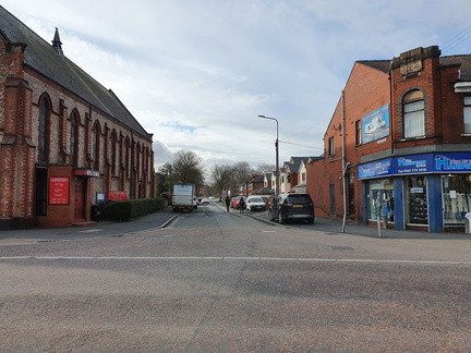 Tramway Road, Irlam
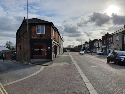 Tramway Road, Irlam
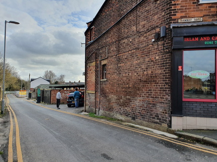 Tramway Road, Irlam
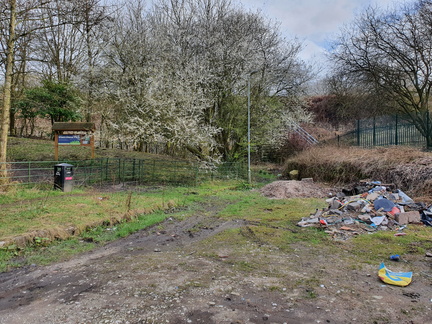 Tramway Road, Irlam
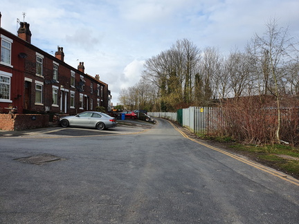 Tramway Road, Irlam
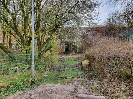 Tramway Road, Irlam